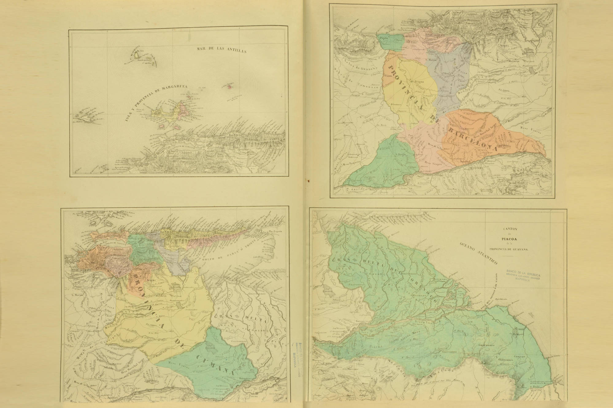
Peoples- CHUMANA
- PASSES
- CARA-CARAHY
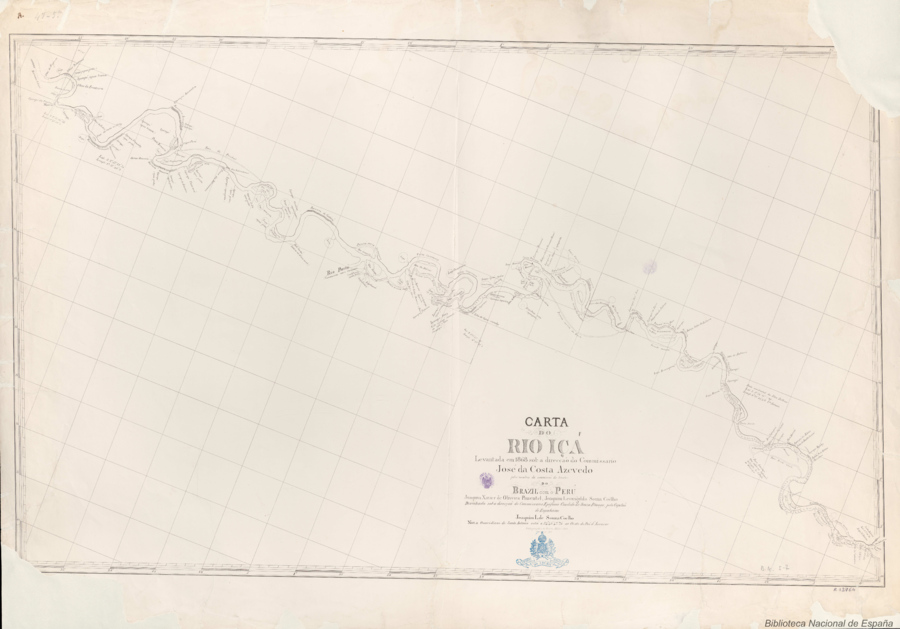
Citationda Costa Azevedo, José, and Leovigildo Souza Coêlho. Carta do Rio Içá. Map. Rio de Janeiro: Lithographia do Archivo Militar, 1868. Accessed July 15, 2023. http://bdh.bne.es/bnesearch/detalle/bdh0000248624.
da Costa Azevedo, José, and Leovigildo Souza Coêlho. Carta do Rio Içá. Map. Rio de Janeiro: Lithographia do Archivo Militar, 1868. Accessed July 15, 2023. http://bdh.bne.es/bnesearch/detalle/bdh0000248624.