Peoples
- CAYAAS
- DORINS
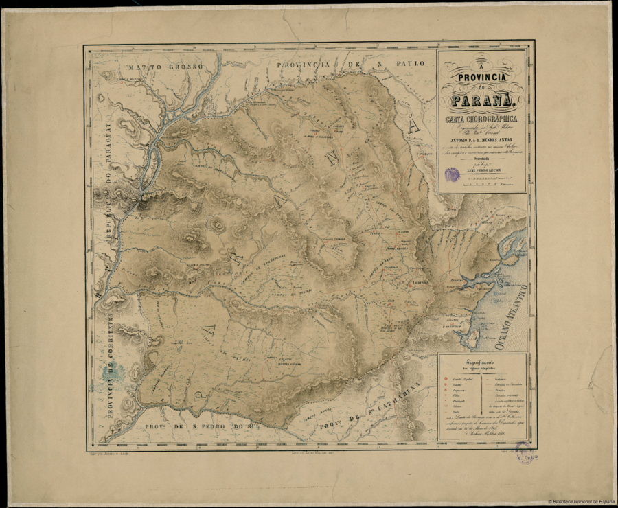
Citation
Antas, Antonio P. de F. Mendes. A Provincia do Paraná: Carta Chorografica. Map. Rio de Janeiro: Litha. do Archivo Milita, 1867. Accessed July 11, 2023. http://bdh.bne.es/bnesearch/detalle/bdh0000018699.
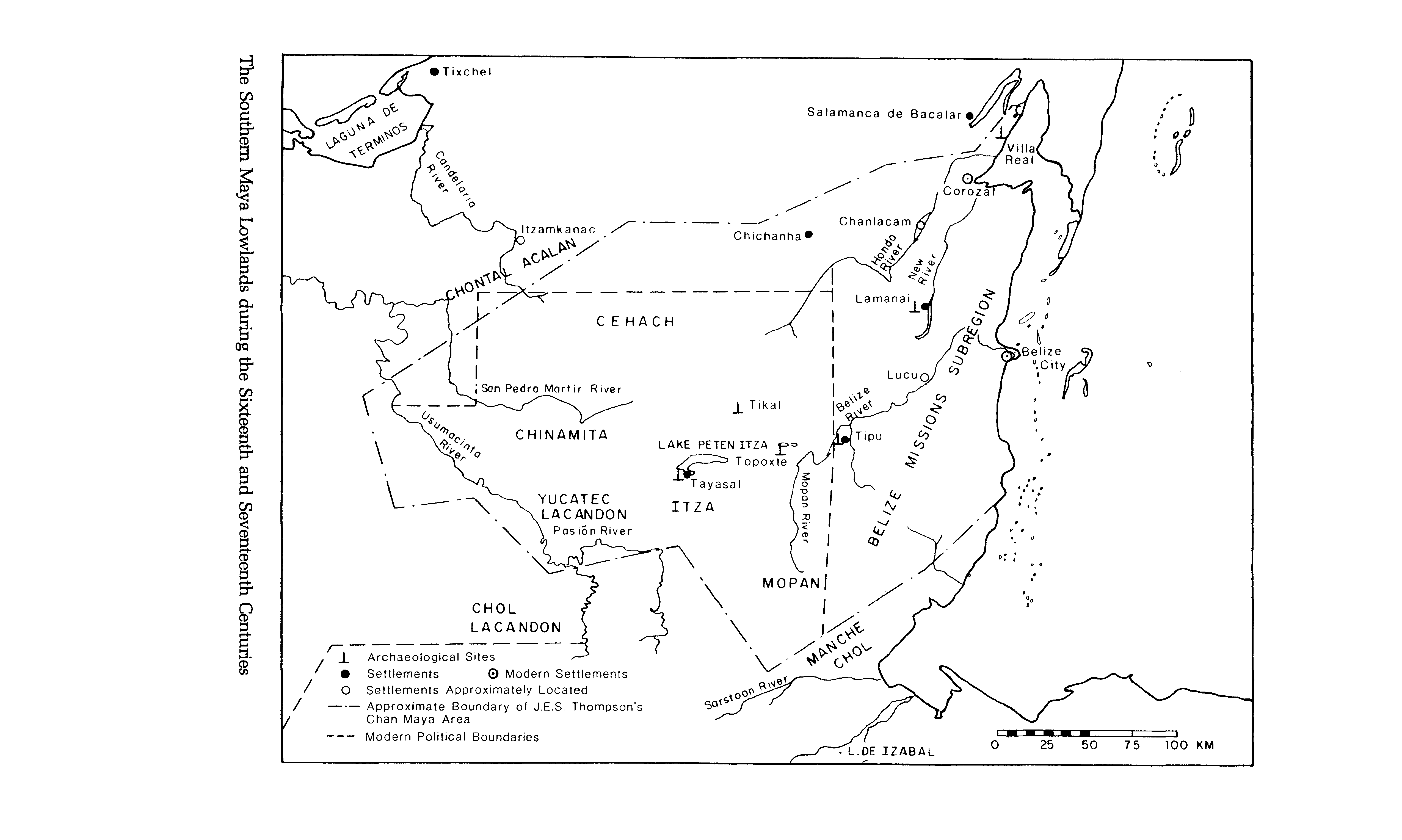
The Southern Maya Lowlands during the Sixteenth and Seventeenth Centuries
Map 1500 - 1700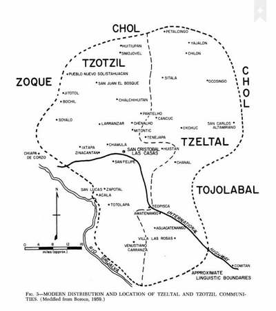
Modern Distribution and Location of Tzetzal and Tzotzil Communities
Map 1959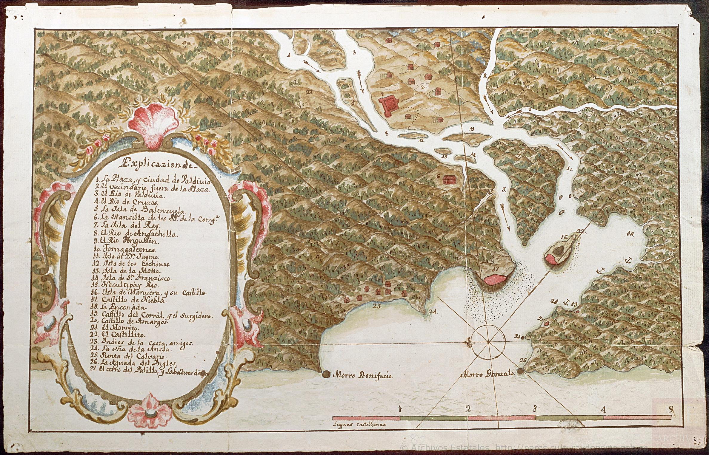
Mapa de la Ciudad de Valdivia y territorios de sus cercanías
Map 1785
Tea Farm in Itacolomi
Artwork
ACHÉ
Map 2015
PAI TAVYTERÃ
Map 2015
Mapa de Magallanes
Map 1746
CARTA DO SUL DO IMPERIO BRASIL, comprehandendo as PROVINCIAS RIO GRANDE do SUL, STA. CATHARINA e PARANA
Map 1885