Peoples
- SORA
Citation
Del Río, M. (2005). Etnicidad, territorialidad y colonialismo en los Andes: Tradición y cambio entre los Soras de los siglos XVI Y XVII (Bolivia). Instituto de Estudios Bolivianos.
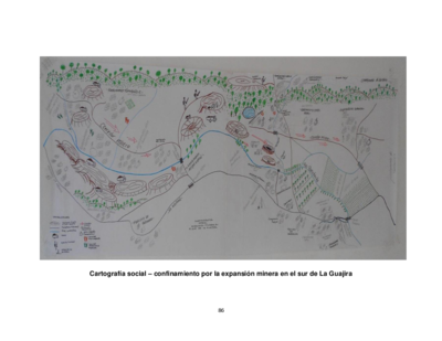
Cartografía social – confinamiento por la expansión minera en el sur de La Guajira
Map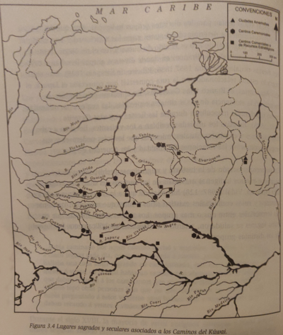
Lugares sagrados y seculares asociados a los caminos del Kuwai
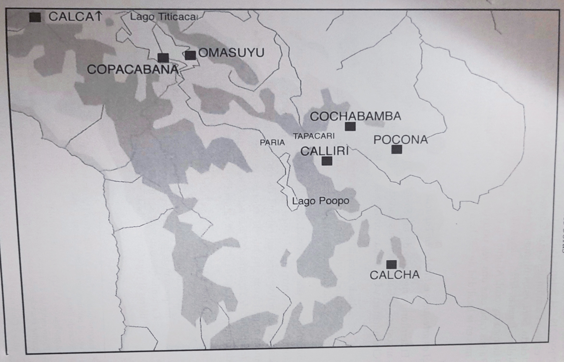
Map 1399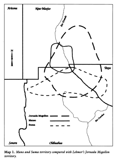
Mano and Sutna territory compared with Lehtner's Jornada Mogotton territory
Map 1997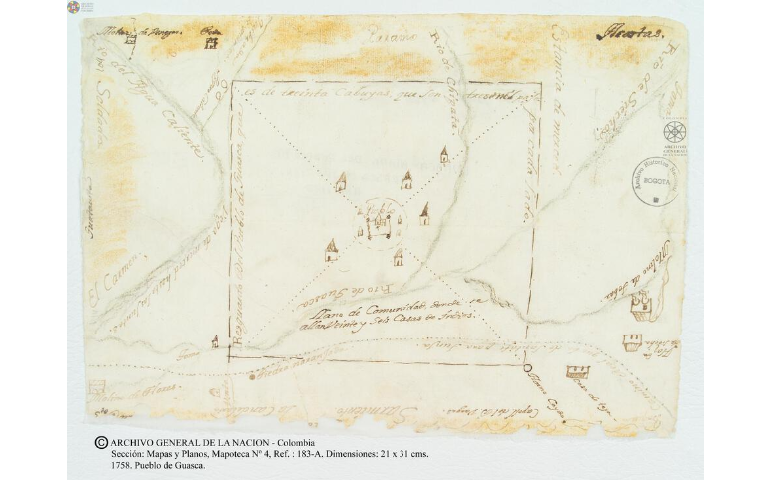
Pueblo de Guasca
Map 1758
CARTA GEOGRÁFICA DEL ECUADOR POR DR. TEODORO WOLF;PUBLICADA POR ORDEN DEL SUPREMO GOBIERNO DE LA REPÚBLICA Y TRABAJADA BAJO LAS PRESIDENCIAS DE LOS EE. SEÑORES DR. D.J.M. PLÁCIDO CAAMAÑO Y DR. D. ANTONIO FLORES. 1892 ... INSTITUTO GEOGRAFICO DE H. WAGNER & E. DEBES EN LEIPZIG. (WITH) LA REGION ORIENTAL DEL ECUADOR. (WITH) ARCHIPIÉLAGO DE GALÁPAGOS.
Map 1892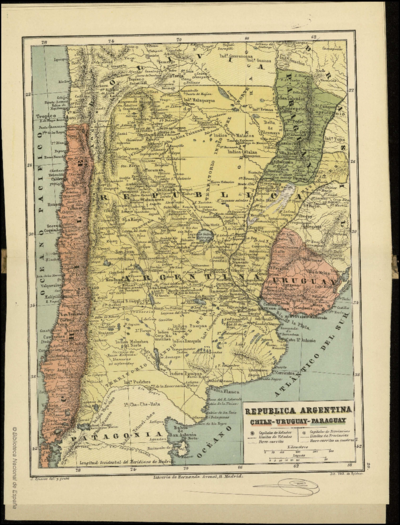
REPUBLICA ARGENTINA CHILE-URUGUAY-PARAGUAY
Map 1884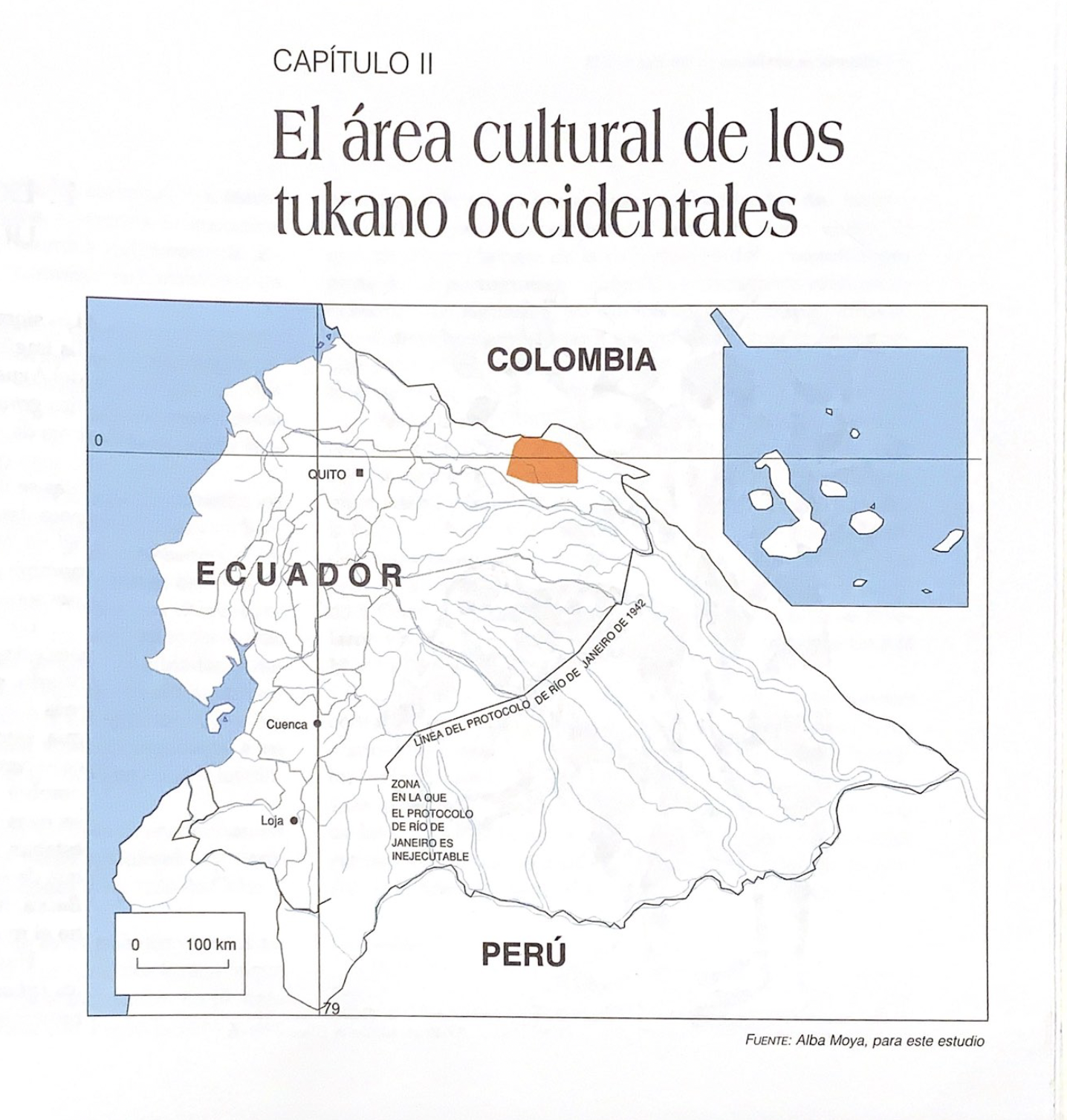
El área cultural de los tukano occidentales
Map 1997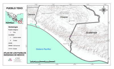
PUEBLO TEKO
Map 2020