Citation
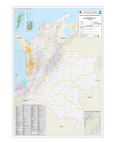
Fundación Tierra (2011). Territorios Indígena Originario Campesinos en Bolivia. Entre la Loma Santa y la Pachamama, Informe 2011. Fundación Tierra. https://www.territorios.ftierra.org/index.php?option=com_content&view=article&id=99:bolivia-territorios-indigena-originario-campesinos-titulados&catid=38:mapascont&Itemid=18