Peoples
- KE'KCHI
- MOPAN
Citation
Eduardo Coc. 1997. "San Felipe." In Maya Atlas: The Struggle to Preserve Maya Land in Southern Belize, 92. Berkeley, CA: North Atlantic Books. BOOK
Paraguariæ Provinciæ soc. jesu cum adiacentibg. novissima descriptio : post iteratas peregrinationes & plures observationes patrum missionariorum eiusdem soc. tum huius provinciæ;cum & Peruanæ accuratissime delineata & emendata ann. 1732
Map 1732
Map of the North Atlantic Autonomous Region (RAAN);Northeastern Nicaragua.
Map 1900![Virus de inmunodeficiencia humana y la invisibilidad del condón [Human Immunodeficiency Virus and the Invisibility of the Condom]](https://dnet8ble6lm7w.cloudfront.net/art_sm/ACOL012.png)
Virus de inmunodeficiencia humana y la invisibilidad del condón [Human Immunodeficiency Virus and the Invisibility of the Condom]
Artwork
‘INDIAN ROYAL TOWNS’ (REDUCCIONES) AND PROVINCES (CORREGIMIENTOS) UNDER SPANISH COLONIAL RULE IN THE LATE 16TH CENTURY
Map 1570 - 1650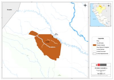
PUEBLO ARABELA
Map 2021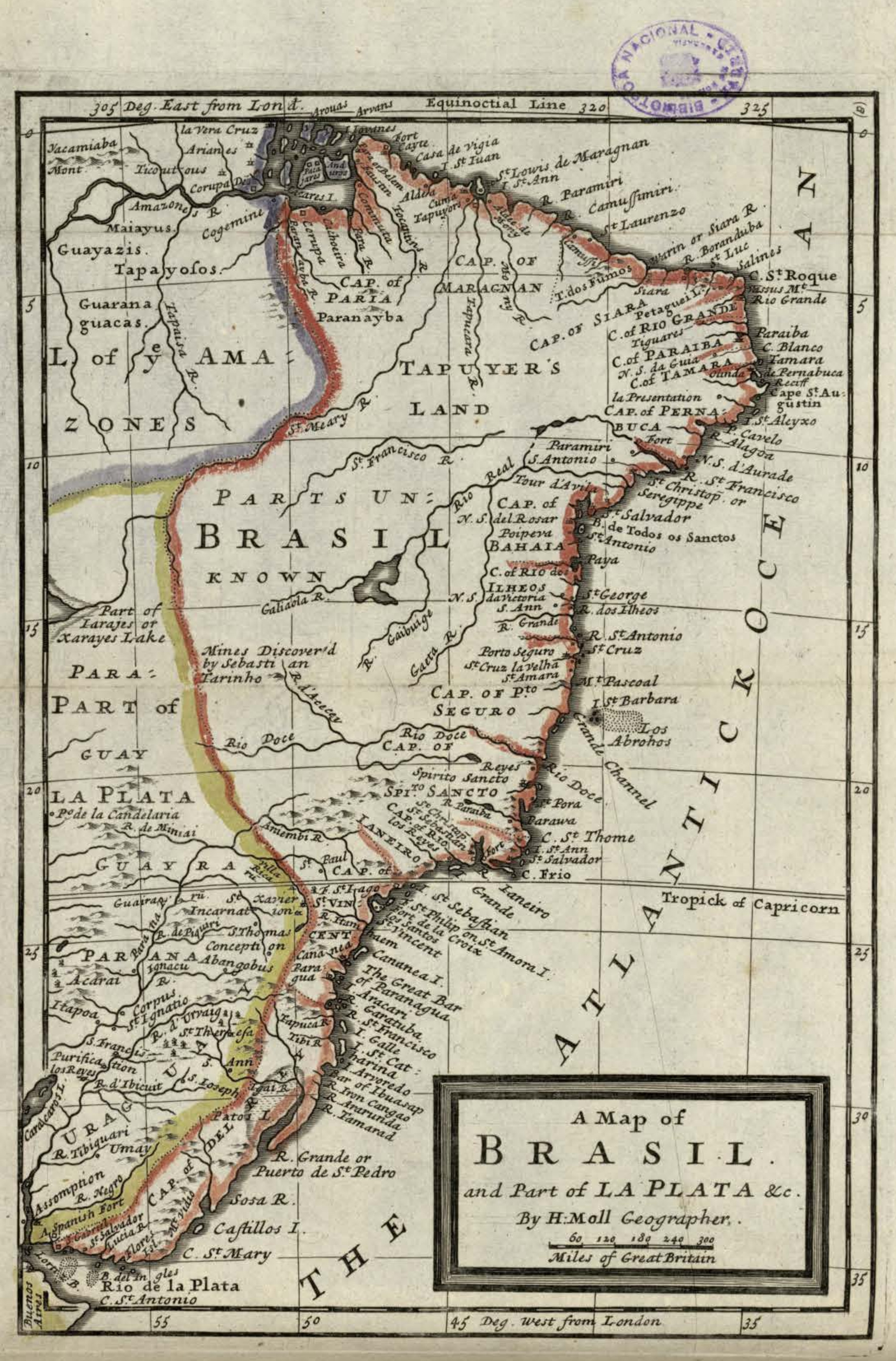
A Map of BRASIL and Part of LA PLATA
Map 1717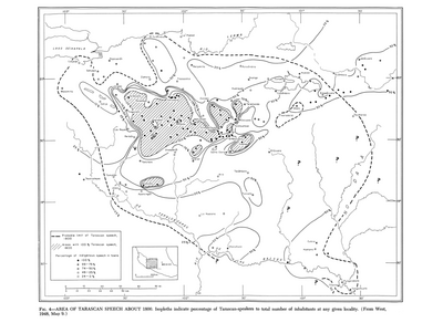
Area of Tarascan Speech around 1800
Map 1800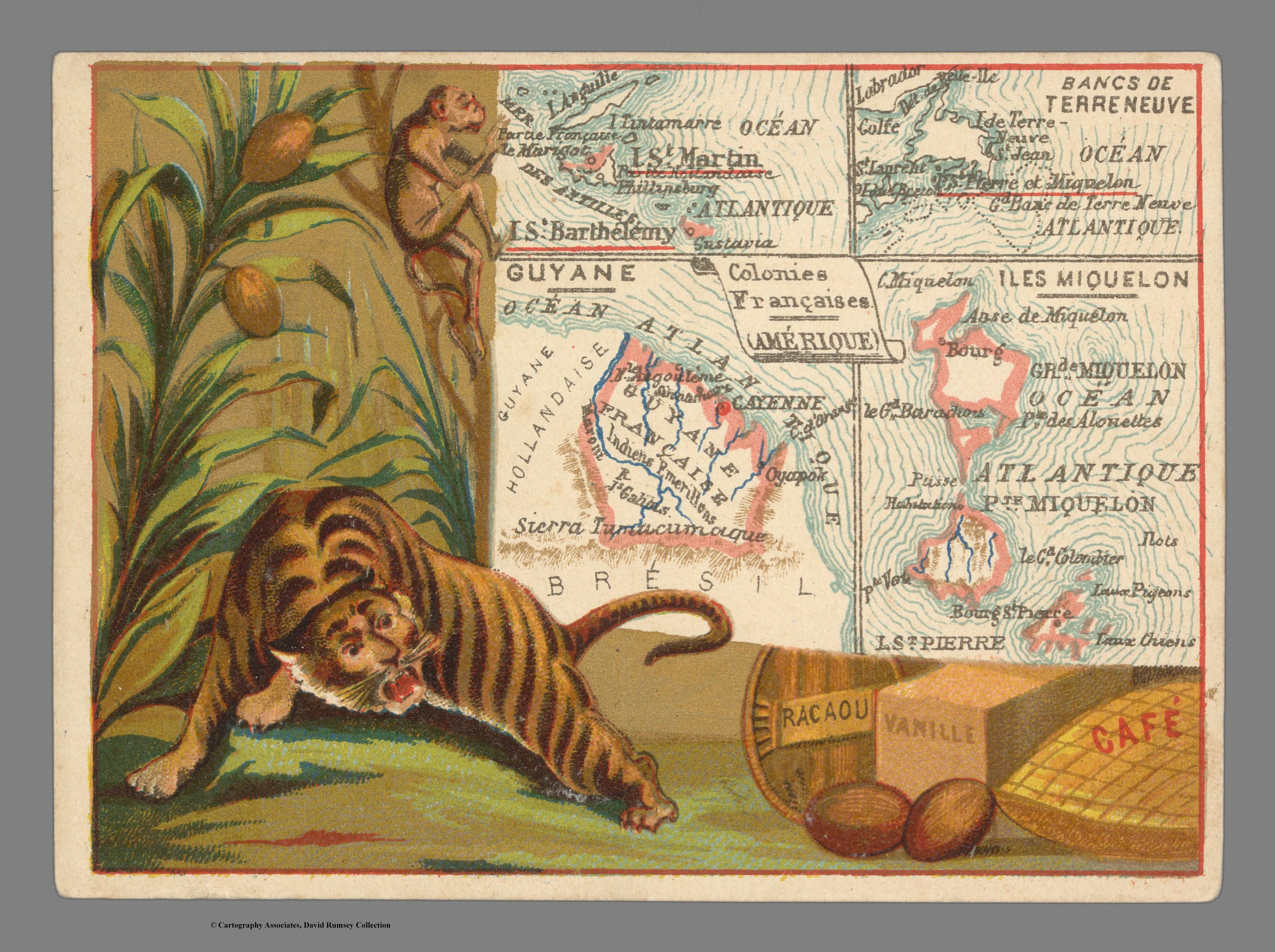
Colonies Françaises. Amérique
Map 1800 - 1899