Peoples
- MOSQUITO
Citation
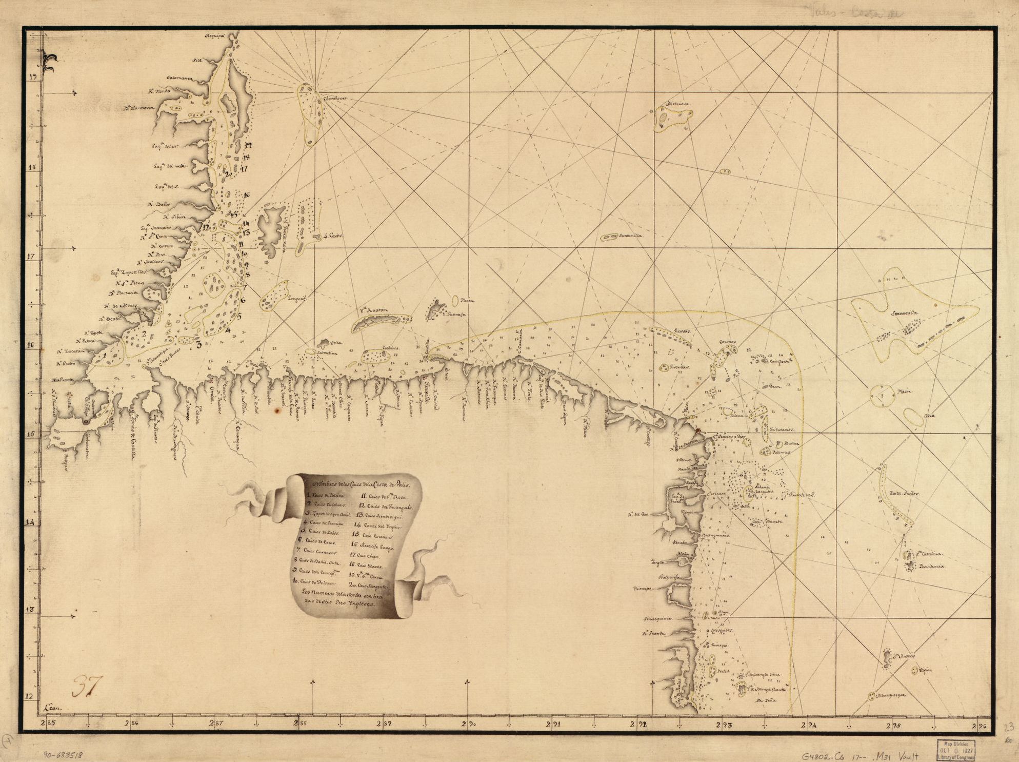
Pieter van Ley. n.d. "Map showing Caribbean coast of Central America from Belize to Nicaragua." Library of Congress Geography and Map Division, G4802.C6 17-- .M31. http://hdl.loc.gov/loc.gmd/g4802c.lh000067
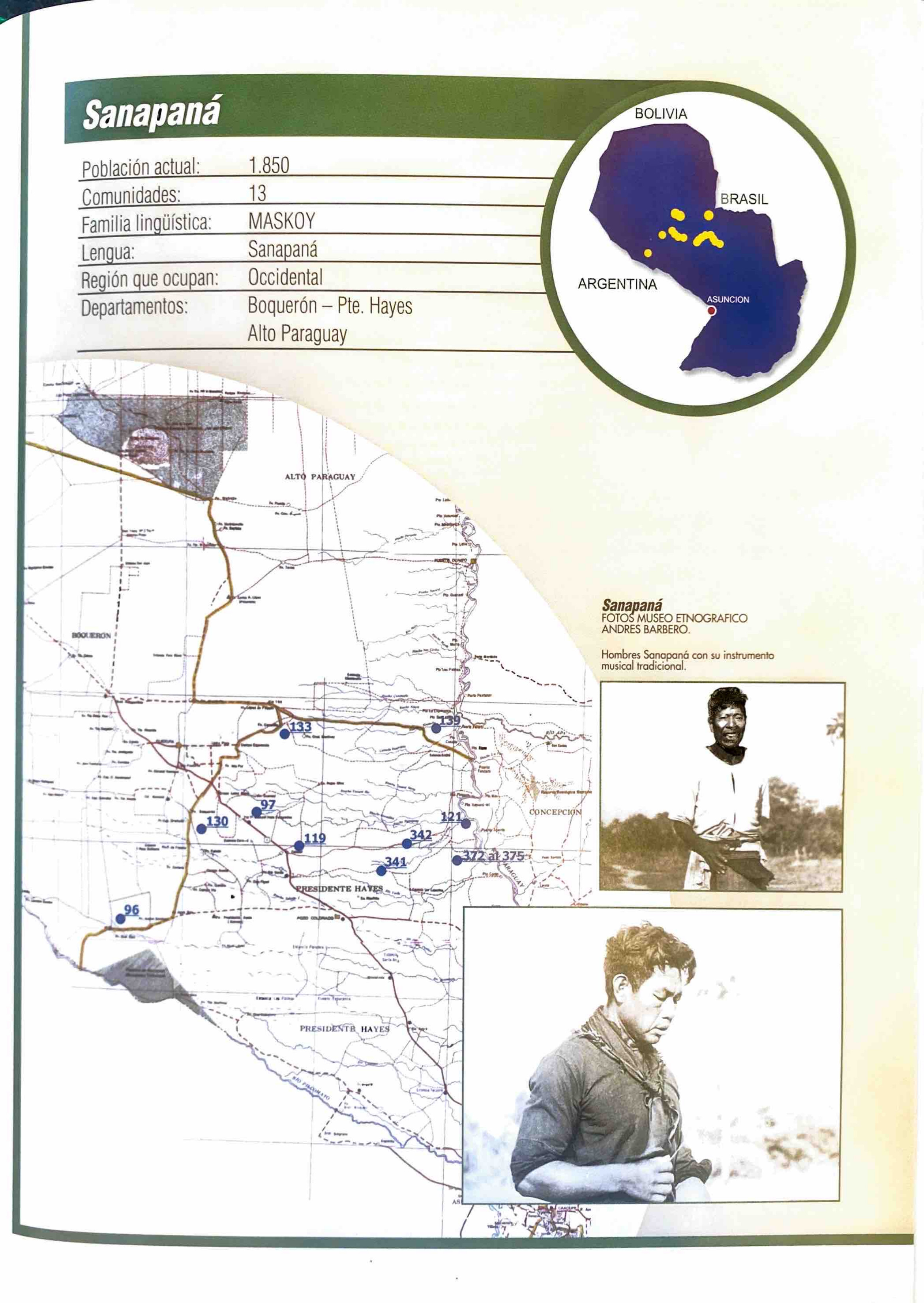
Sanapaná
Map 2001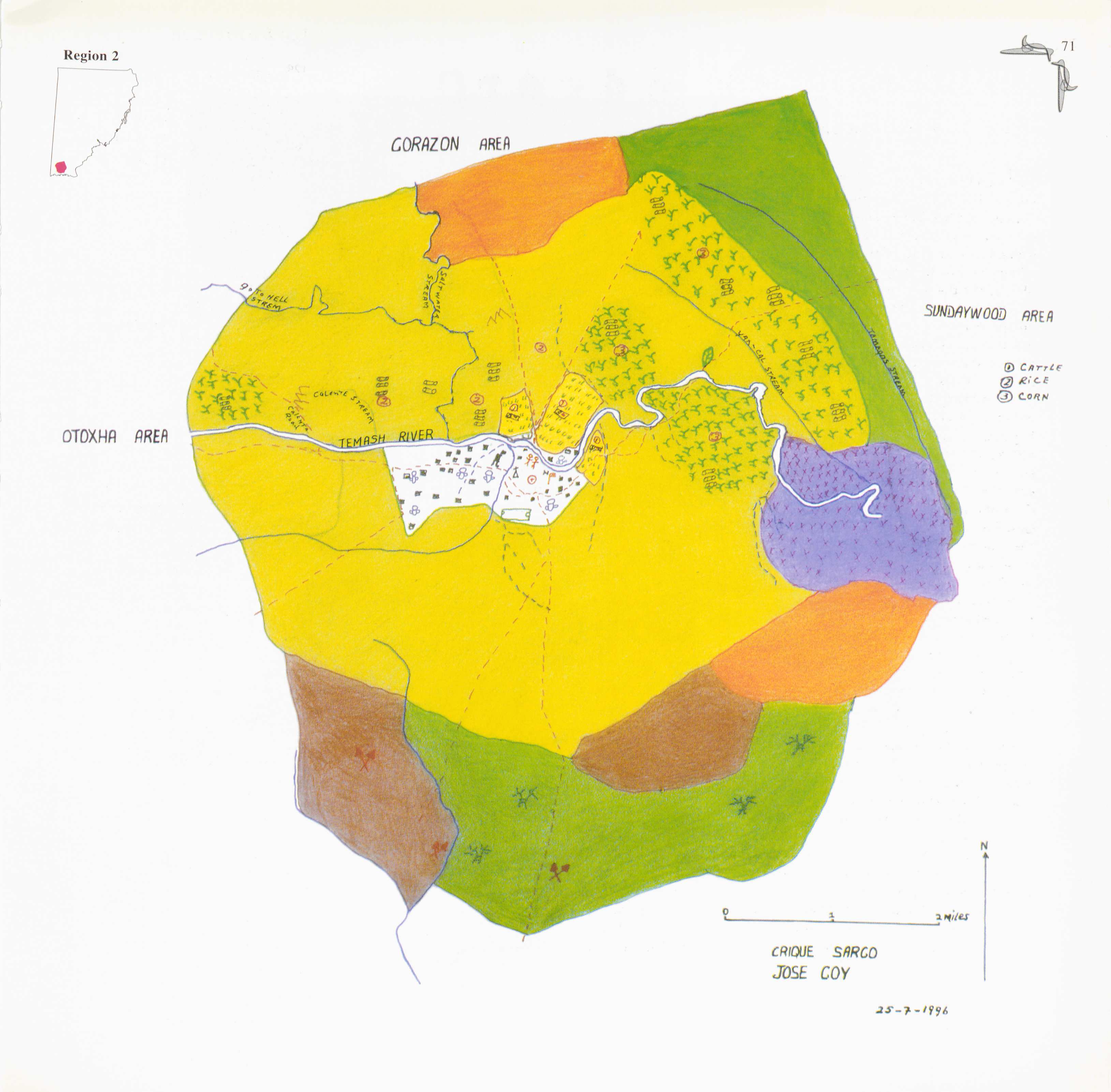
Crique Sarco
Map 1997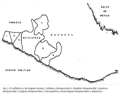
El cuitlateco y las lenguas vecinas
Map 2019
Carte geographique, statistique et historique de la Guyane.
Map 1800 - 1899
Le Paraguay
Map 1733
CARTE DE LA CAPITAINERIE GENERALE DE CARACAS Comprenant les Provinces de Venezuela;Maracaibo;Varinas;Cumana;la Guiane;et Isle de la Margeurite;Pour servir au Voyage a la partie oriental de la Terre Ferme dans l'Amerique Meridionale
Map 1801 - 1805
SUITE DU BRESIL depuis la Baye de Tous les Saints jusqu’a St. Paul
Map 1700 - 1750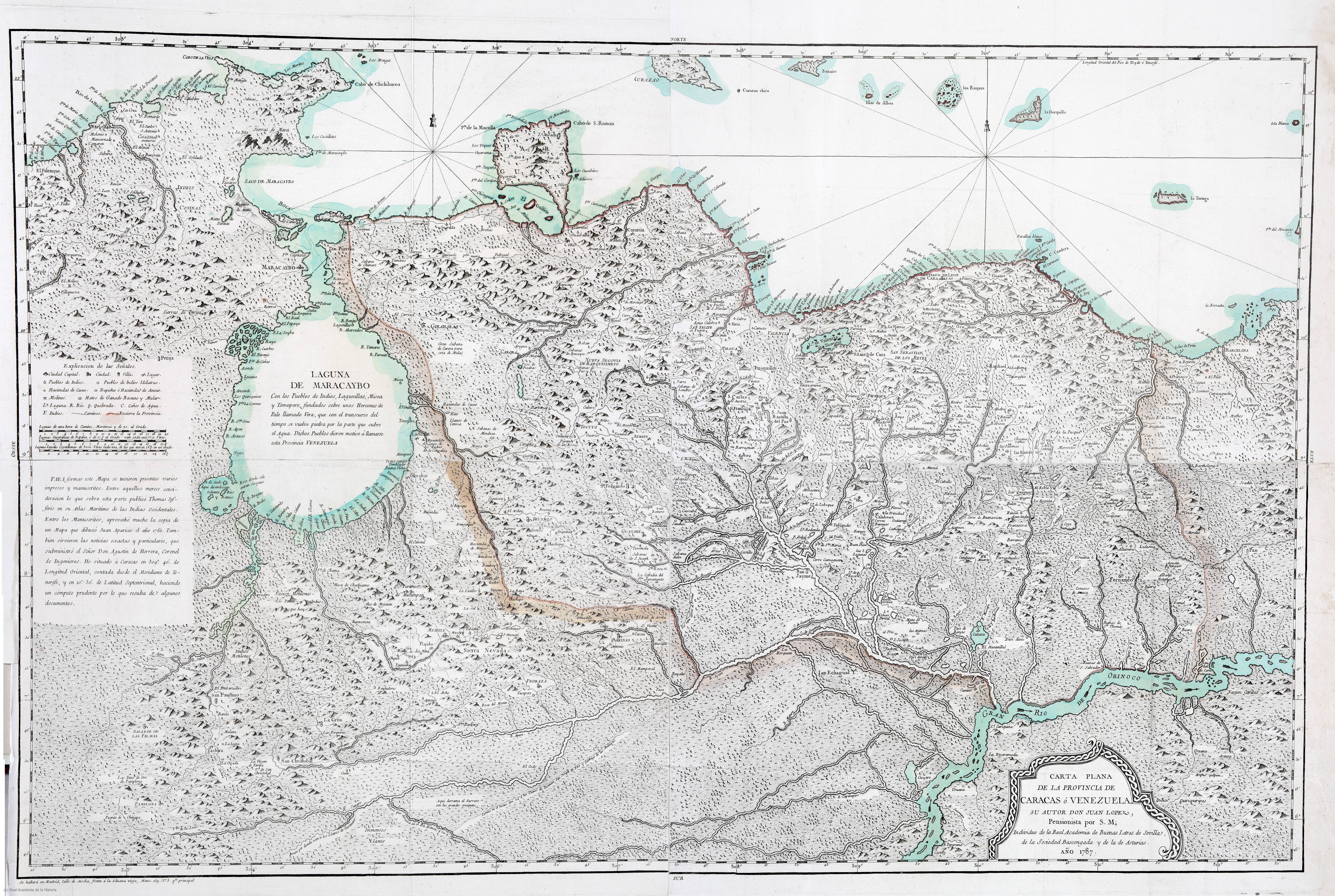
CARTA PLANA DE LA PROVINCIA DE CARACAS Ó VENEZUELA
Map 1787