Peoples- PATAGONES
- PUELCHES
- PAMPAS
- PEHUENCHES
- TEHUELCHES
- AUCAS
- CHARRUAS
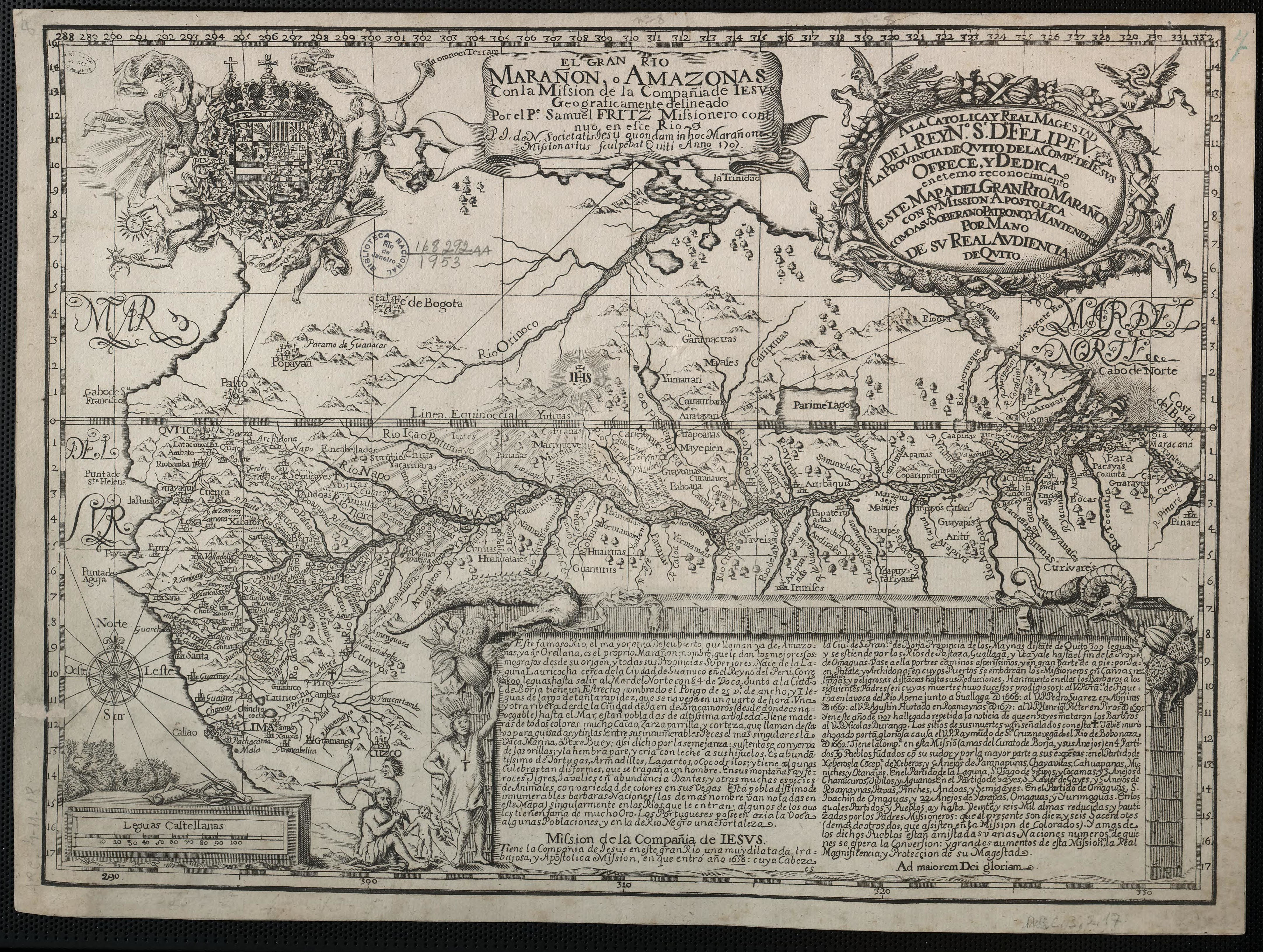
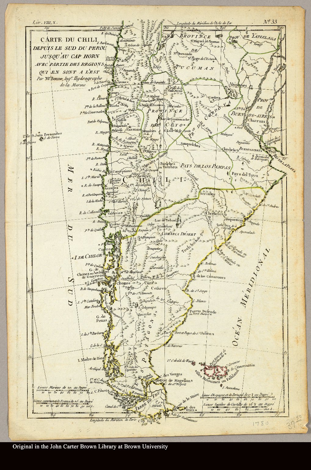
CitationBonne, Rigobert. "Carte du Chili depuis le sud du Perou jusqu'au Cap Horn ... par Mr. Bonne, Ingr. Hydrographe de la Marine." Map. 1780. Accessed April 3, 2022. https://jcb.lunaimaging.com/luna/servlet/detail/JCBMAPS~1~1~3469~101683:Carte-du-Chili-depuis-le-sud-du-Per?sort=normalized_date%2Cfile_name%2Csource_author%2Csource_title#
Bonne, Rigobert. "Carte du Chili depuis le sud du Perou jusqu'au Cap Horn ... par Mr. Bonne, Ingr. Hydrographe de la Marine." Map. 1780. Accessed April 3, 2022. https://jcb.lunaimaging.com/luna/servlet/detail/JCBMAPS~1~1~3469~101683:Carte-du-Chili-depuis-le-sud-du-Per?sort=normalized_date%2Cfile_name%2Csource_author%2Csource_title#