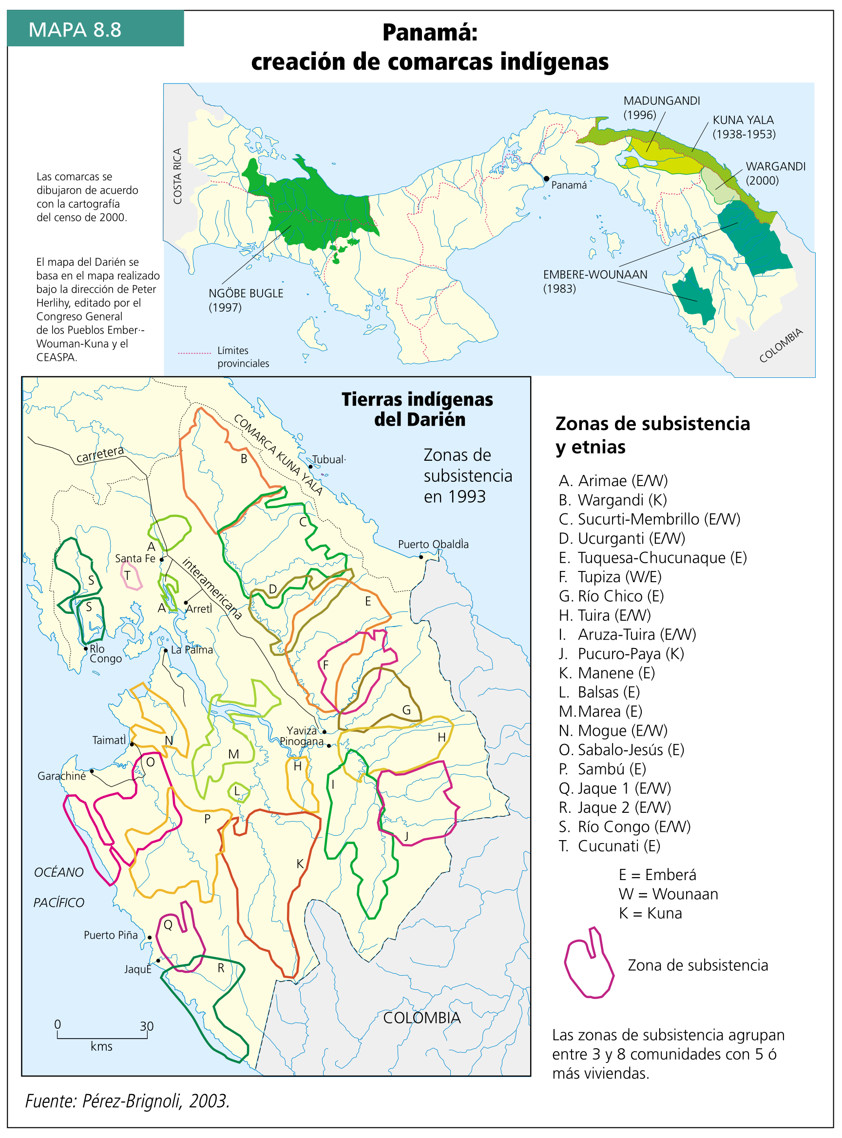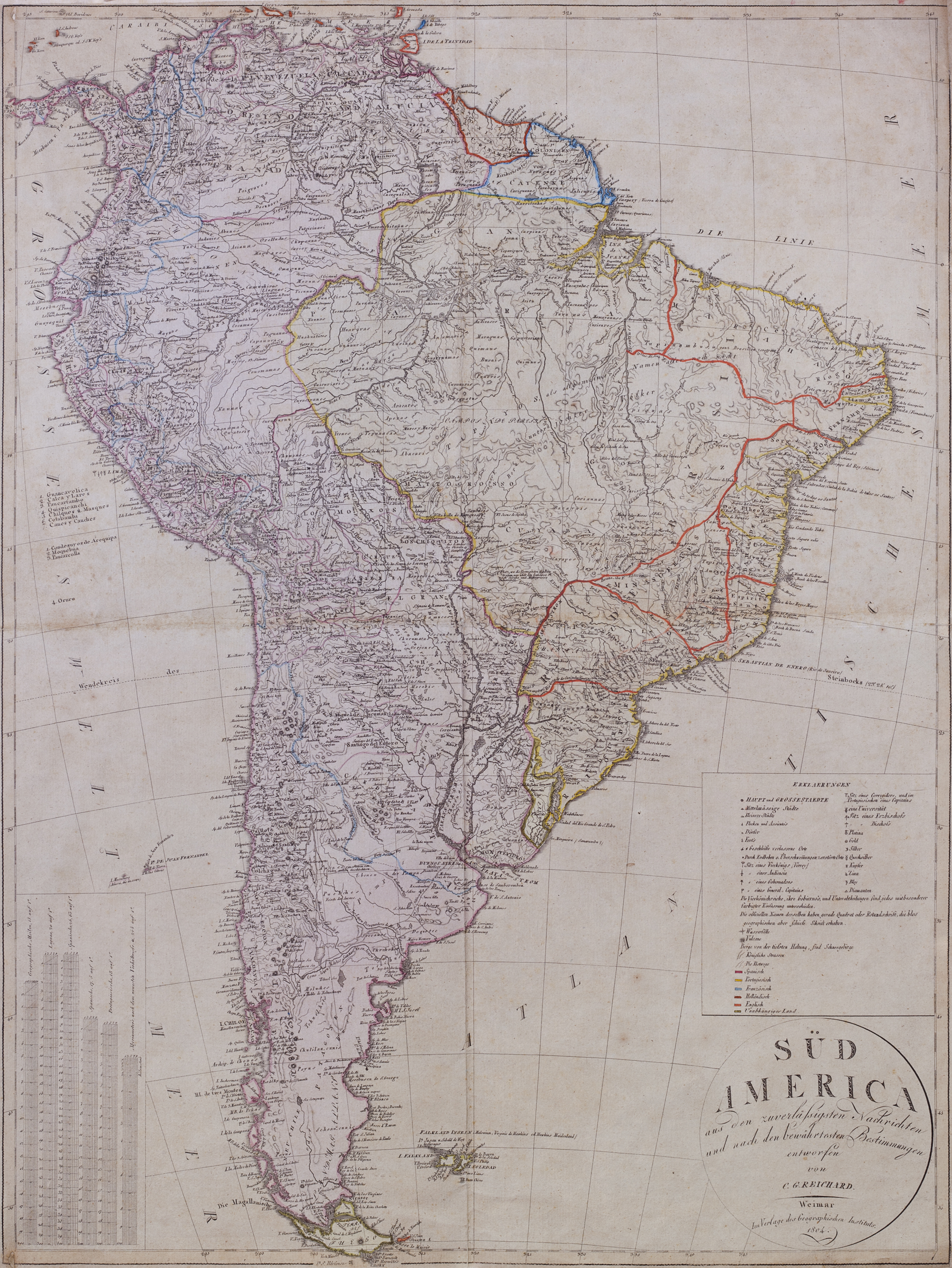
Peoples- PUELCHES
- TEHUELCHES
- PAMPAS
- MOCOVI
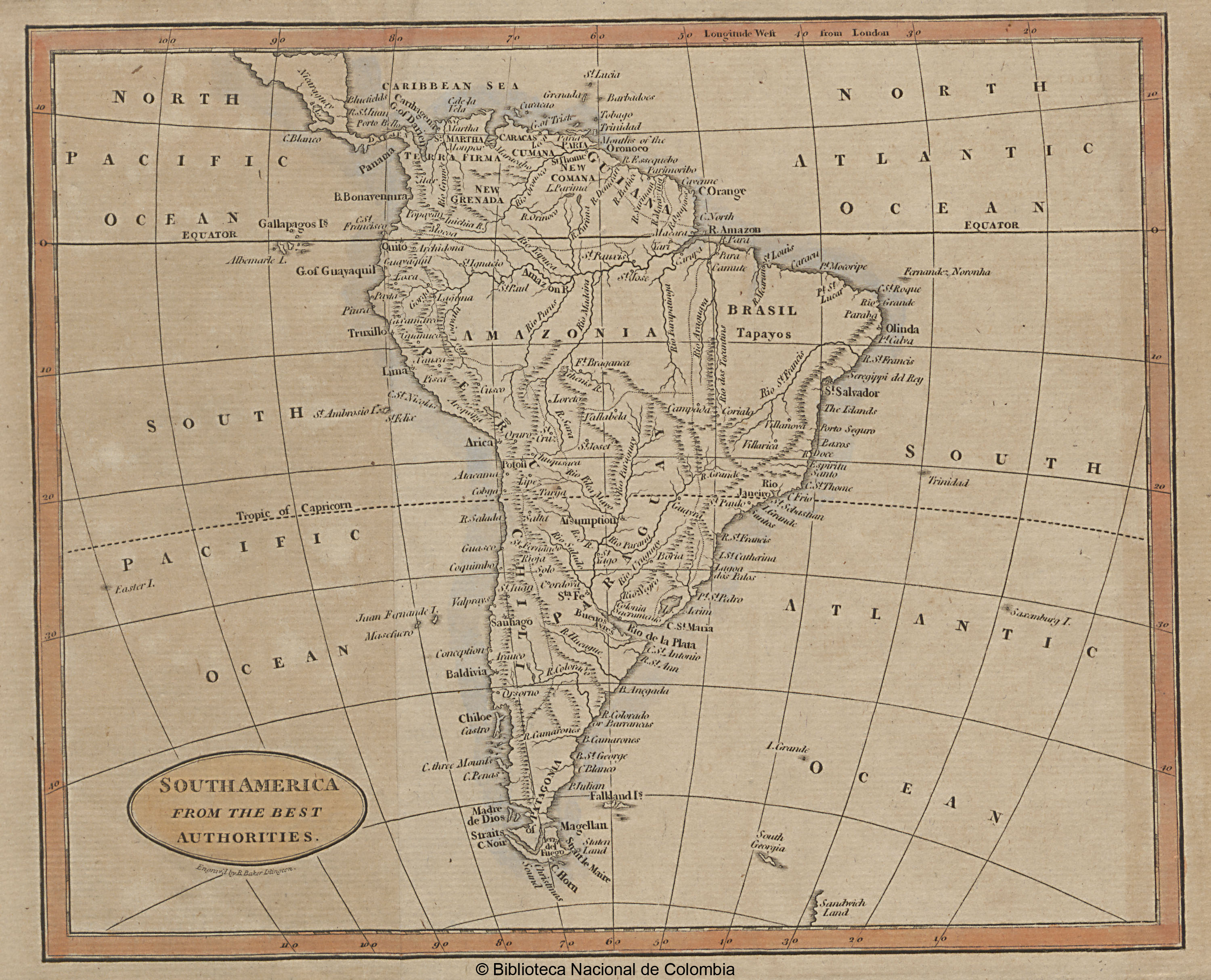
CitationDelarochette,, Louis Stanislas d'Arcy. South America: From the latest Discoveries, Shewing the Spanish and Portuguese Settlements, according to Mr. D'Anville. Map. London: Printed for John Bowles at the Black Horse in Cornhill, & Carington Bowles next the Chapter House in St. Pauls Church, 1771. https://catalogo.bn.gov.ar/F/VQ97SNCH5I2DMYK22HY1G878J53C6B39XM8KPYLPVFR7KMYYKA-34685?func=full-set-set&set_number=010736&set_entry=000037&format=999
Delarochette,, Louis Stanislas d'Arcy. South America: From the latest Discoveries, Shewing the Spanish and Portuguese Settlements, according to Mr. D'Anville. Map. London: Printed for John Bowles at the Black Horse in Cornhill, & Carington Bowles next the Chapter House in St. Pauls Church, 1771. https://catalogo.bn.gov.ar/F/VQ97SNCH5I2DMYK22HY1G878J53C6B39XM8KPYLPVFR7KMYYKA-34685?func=full-set-set&set_number=010736&set_entry=000037&format=999