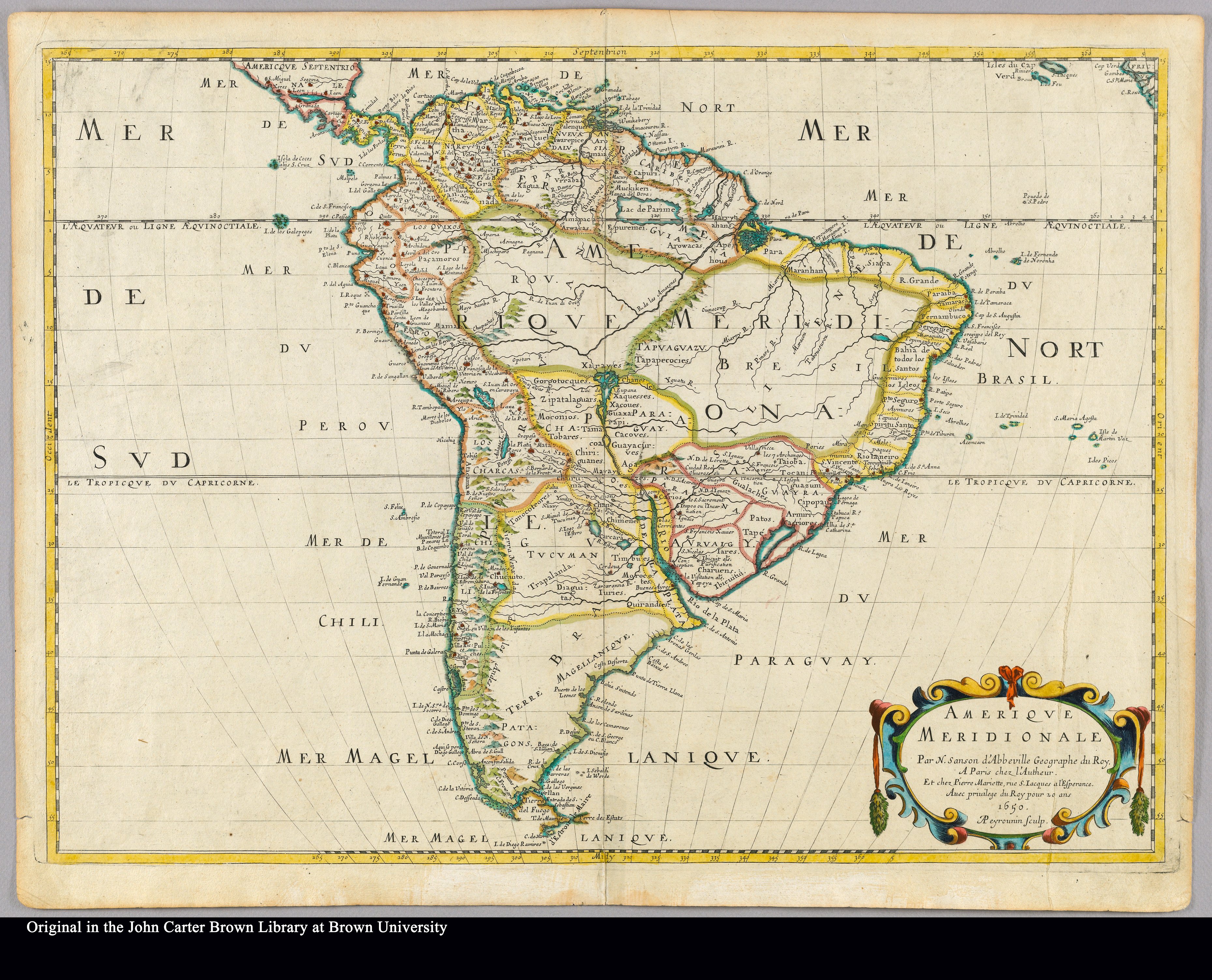
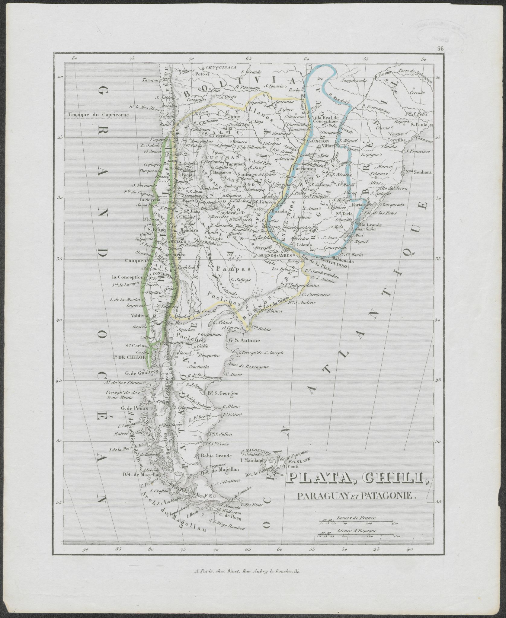
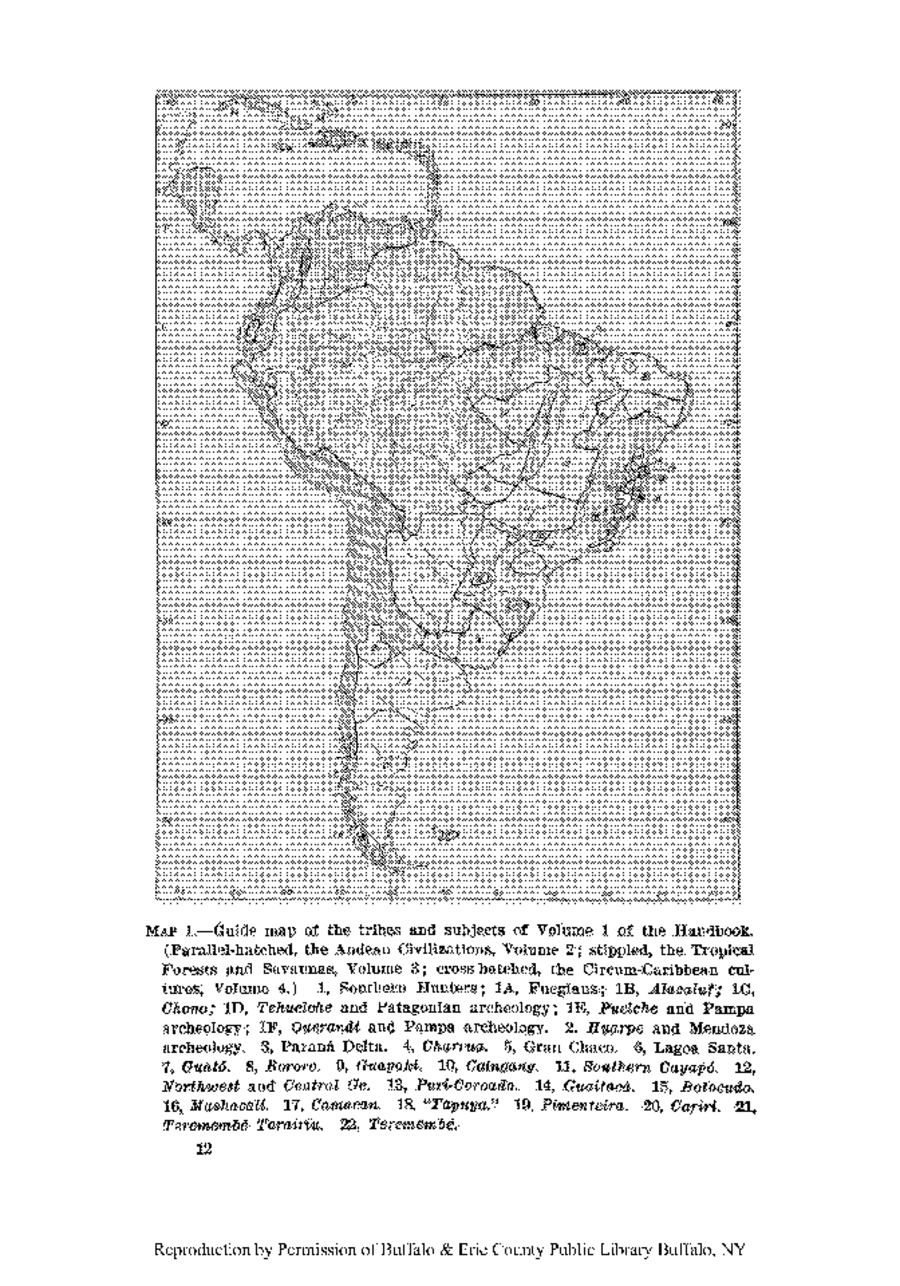
Dispossesions in the Americas

Dispossesions in the Americas

  • Home
  • Explore
  • About
  • Authors
  • Art
  • Bodies
  • Curricula
  • Cultural Heritage
  • Maps
  • Territories
Back to Explore
Map

Guide map of the tribes and subjects of Volume 1 of the Handbook

    Published: 1946

    • Download Image

    Peoples

    • FUEGIANS
    • ALACALUF
    • CHONO
    • TEHUELCHE
    • PUELCHE
    • QUERANDI
    • HUARPE
    • CHARRUA
    • GUATO
    • BORORO
    • GUAYAKI
    • CAINGANG
    • CAYAPO
    • PUTI-COROADO
    • GUAITACA
    • BOTOCUDO
    • MASHACALI
    • CAMACAN
    • TAPUYA
    • PIMENTEIRA
    • CARIRI
    • TEREMEMBE TARAIRIU
    • TEREMEMBE

    Citation

    Steward Julian Haynes, Editor. Handbook of South American Indians. Washington, U.S. G.P.O.

    • Download Image

    Reading in Spanish

    Map

    Guide map of the tribes and subjects of Volume 1 of the Handbook

      Published: 1946

      • Download Image
      • Download Image

      Reading in Portuguese

      Map

      Guide map of the tribes and subjects of Volume 1 of the Handbook

        Published: 1946

        • Download Image

        Peoples

        • FUEGIANS
        • ALACALUF
        • CHONO
        • TEHUELCHE
        • PUELCHE
        • QUERANDI
        • HUARPE
        • CHARRUA
        • GUATO
        • BORORO
        • GUAYAKI
        • CAINGANG
        • CAYAPO
        • PUTI-COROADO
        • GUAITACA
        • BOTOCUDO
        • MASHACALI
        • CAMACAN
        • TAPUYA
        • PIMENTEIRA
        • CARIRI
        • TEREMEMBE TARAIRIU
        • TEREMEMBE

        Citation

        Steward Julian Haynes, Editor. Handbook of South American Indians. Washington, U.S. G.P.O.

        • Download Image

        Related Content

        Plata, Chili, Paraguay Et Patagonie

        Plata, Chili, Paraguay Et Patagonie

        Map 1800 - 1880
        Carte IV: Guyane française.

        Carte IV: Guyane française.

        Map 1899
        Geographic Map of the Nicaragua with three plans and views.

        Geographic Map of the Nicaragua with three plans and views.

        Map 1855
        Amerique Meridionale

        Amerique Meridionale

        Map 1650
        Mana Huni Kuin, Yube Nawa Aibu

        Mana Huni Kuin, Yube Nawa Aibu

        Artwork
        Partie du Mexique ou De La Nouvelle Espagne ou se trouxe L Audience de Guatimala.

        Partie du Mexique ou De La Nouvelle Espagne ou se trouxe L Audience de Guatimala.

        Map 1748
        The Negro Inglés: Most important municipios, 2001

        The Negro Inglés: Most important municipios, 2001

        Map 2001
        Missiones;quas Provincia Societatis Jesu Paraquarica excolit ad flumina Parana et Urugvay ex natione Guaranica accurate delineatice a quodam ejusdem Missionario Veterano;anno 1744

        Missiones;quas Provincia Societatis Jesu Paraquarica excolit ad flumina Parana et Urugvay ex natione Guaranica accurate delineatice a quodam ejusdem Missionario Veterano;anno 1744

        Map 1744

        Dispossessions in the Americas

        A project by

        University of Pennsylvania

        Copyright 2024

        With support from

        Mellon Foundation

        Site design & development

        Element 84

        Art Credits

        Steward Julian Haynes, Editor. Handbook of South American Indians. Washington, U.S. G.P.O.

        Site Pages

        • Home
        • Explore
        • About
        • Authors
        • Art
        • Bodies
        • Curricula
        • Cultural Heritage
        • Maps
        • Territories