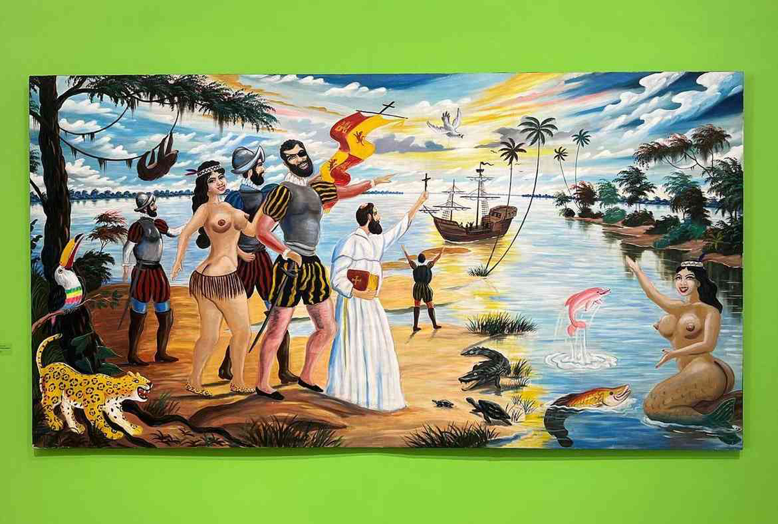
Dimas Paredes, Peruvian artist, 2020. Acrylic on canvas. Hoschschild Correa, Collection.](/images/content/Laurent-PerraultE003/image1.png)
Abstract
Abya Yala1 was fully inhabited by millions of individuals, Indigenous Peoples, with thousands of cultures, languages, and spiritualities. The Original Peoples were scattered throughout different ecosystems, ranging from Patagonia, the Araucanian, tropical forests, dry forests, rainforests (tropical and temperate), the Andean region, deserts, tropical and temperate plains, tundra, plains, mountains, sea and river coastal areas, among others. These societies had achieved these population levels, thanks to their knowledge, interconnectedness, and management of natural resources and the materials at their disposal.
Even though the Inca state was experiencing a political crisis, at the arrival of the European to the region, it is important to note that it had achieved a very sophisticated and complex social organization, political structure, and architecture. Their architectural achievements continue to amaze the world, which is still trying to figure out how these were built. The agronomists of the Andean region had domesticated many seeds and cereals, through the management of diverse types of soils, across different temperatures’ gradients, they achieved through cultivation terraces. Likewise, they had domesticated several animals from which they obtained alpaca- wool (among others), to make clothing, ornament and other utensils. These societies also had mastered the art of goldsmithing. As if that were not enough, Andean societies already calculated following the decimal system, with the help of Quipus.2 We invite users to research about the Quipus.
These four lessons offer a case of dispossession committed by the University of Pennsylvania’s own museum, strategies for understanding maps in general, and for taking advantage of the maps on the DIA website, a graphic novel about the Lenape People and the territory known as Lenapehoking. This section also includes an estimate of the population of Abya Yala before the European began their colonial projects in Abya Yala, and several lessons with introductory texts and maps on the Peoples, territories and societies of the Andean region.
Lesson 1. Dispossessions Committed by the Museum of the University of Pennsylvania, Interpretation Maps and Primary Sources, and How to Use DIA Website Maps. We invite users to reflect on and discuss on the ethics of conducting research about Original Peoples and oppressed groups.
Mapping Lenapehoking: A Mythology with Sharp Edges and a History with Blurred Lines
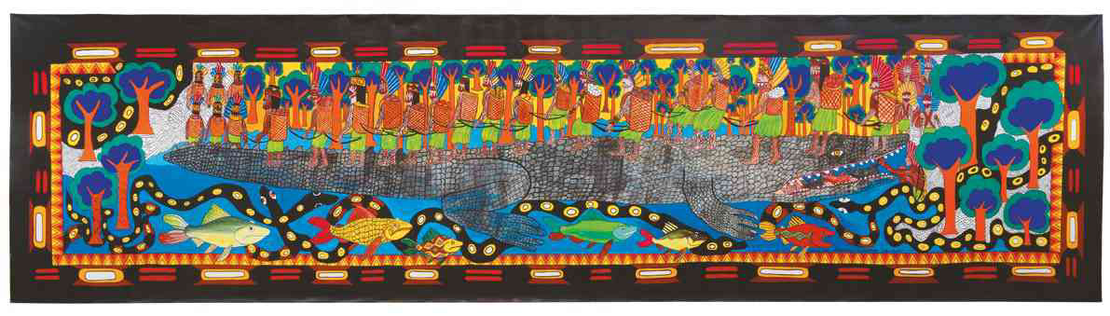
Tourist Reception Victor Churay, Peruvian artist.
Lesson 2. Population Density and Territories of the Original Peoples of Abya Yala. Introduction to the Andean region.
The Tawantinsuyu in the 1530s - Territory of the Inca State.
The Qullasuyu in the 1530s - Southern District of the Inca State.
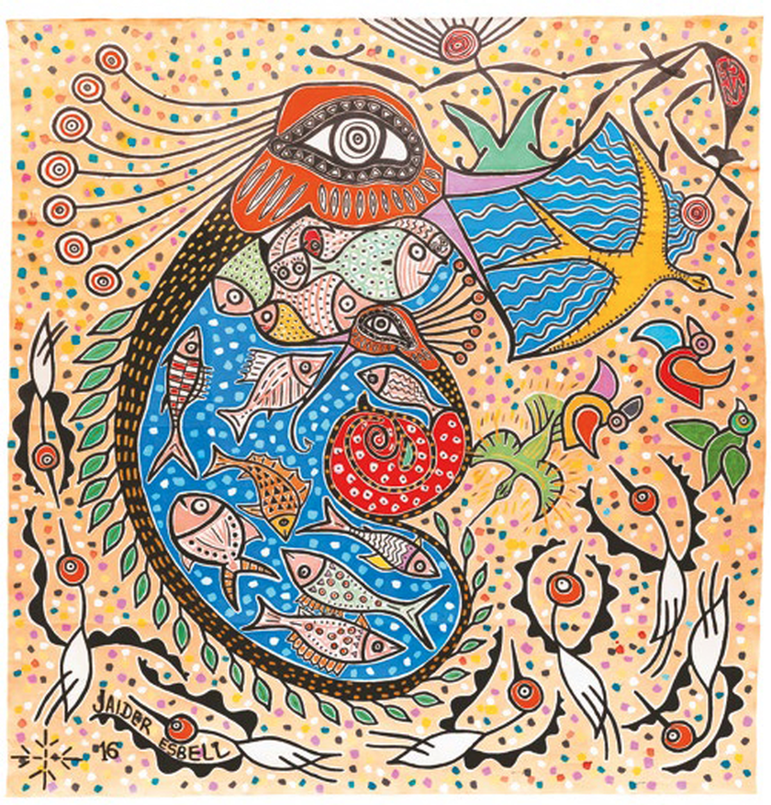
Ashaninka Cosmovision Enrique Casanto, Peruvian artist.
Lesson 3. The Inca State, its Regions, Political Dynamics, architecture and roads, 1.
The Eastern Borders of the Qullasuyu-Southern District of the Inca State - 16th Century.
Chomos voladores Agustina Valera Rojas, Peruvian artist.
Lesson 4. The Inca State, its regions, political dynamics, architecture and roads, 2.
Multi-Ethnic Territory under Direct Inca Rule: The Lower Valley of Cochabamba in the 1530s.
Myth and Religion Series Luis Martínez, Peruvian artist.
Abya Yala is the Kuna Peoples’ Language name (today in Panama and Colombia), given to their territory. The World Council of Indigenous Peoples proposed at its meeting in 1977, to adopt Abya Yala to name the entire American continent, which was accepted by many Original Peoples and allies. Along the curriculum, we use this term, as well as America to denote the entire extension of the continent (North, South, Central, and the Caribbean). ↩︎
The Quipus were the Inca calculators, made of many ropes, containing different knots, and were tied to a one rope in common. ↩︎