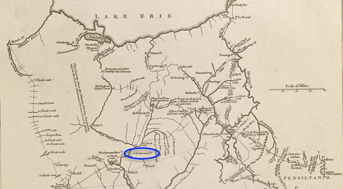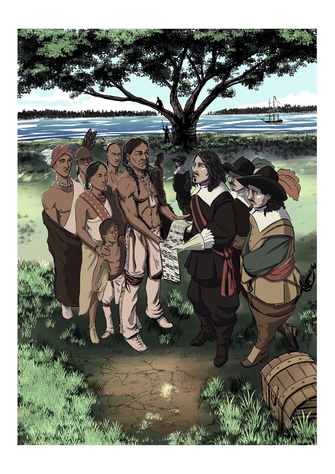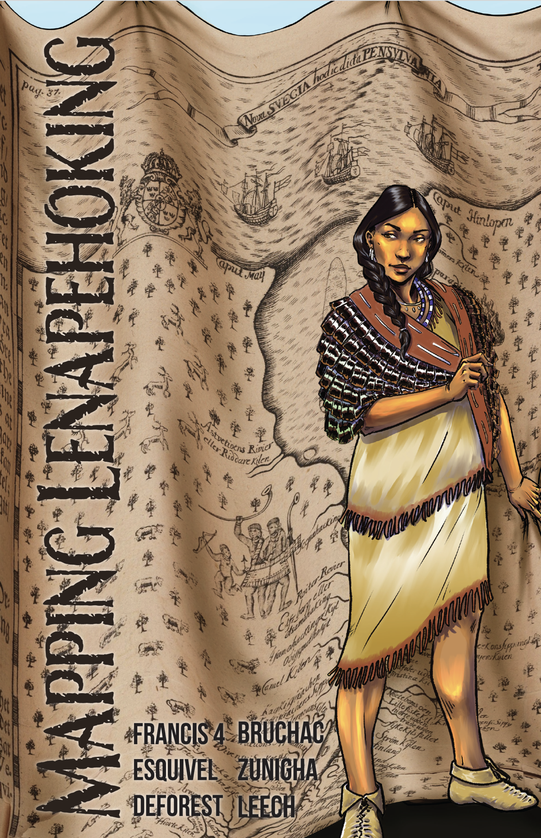
Abstract
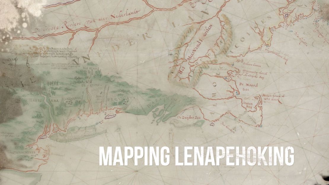
This comic book/graphic novel was designed to creatively depict some of the losses that resulted from the colonization of Lenape/Delaware homelands in the 1600s to 1700s, while foregrounding Indigenous strategies of accommodation, resistance, and survival. The events described in Mapping Lenapehoking: A Mythology with Sharp Edges and a History with Blurred Lines, while they are unique to the Lenape, are not tangential to American history; they are inextricably linked to the history of Pennsylvania and other colonies across the continent. Colonial maps were not neutral cartographic illustrations; they functioned as powerful tools of dispossession that collapsed thousands of years of Indigenous history, while methodically severing Indigenous connections to the land. These maps were visual representations of European desires, depicting Native homelands as colonial possessions waiting to be carved up and circumscribed by new colonial boundaries. This book critically re-envisions a selection of maps of Lenape homelands that have confused tribal relationships and boundaries, re-named topographic features, misrepresented tribal histories, failed to record diaspora movements, and otherwise erased or obscured Indigenous presence. Our hope is that better understanding of the devastating impacts of colonial encounters and dispossessions in the past will inspire readers to imagine, and recover, better possibilities for Indigenous futures, in and around Philadelphia and beyond.
Story by Lee Francis 4
Art by Sadekaronhes Esquivel, with Dale Deforest, and Lee Francis 4
Edited by Margaret Bruchac, Marian Leech, Curtis Zunigha, and Lee Francis 4
Additional support by Erin Marble and Safaya Smallwood